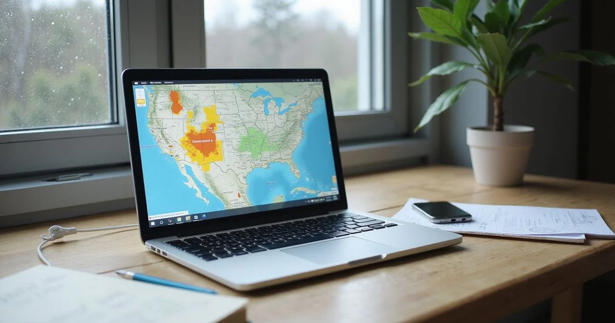
What do FEMA flood zones mean for a renter?
A flood zone label simply describes the mapped statistical chance of water inundation for a specific area. We see homeowners and business owners struggle with these government designations every day.
FEMA estimates that just one inch of water can cause $25,000 in damage, showing exactly why these risk profiles require a deeper look.
Our records show that of 140 tracked new builds in October 2026, 128 sit in Zone X, 9 are shaded X, and 3 are Zone AE. Those maps serve as the starting point for our list of new apartments by flood zone.
Let’s look at the data, what it actually tells us, and explore practical ways to respond.
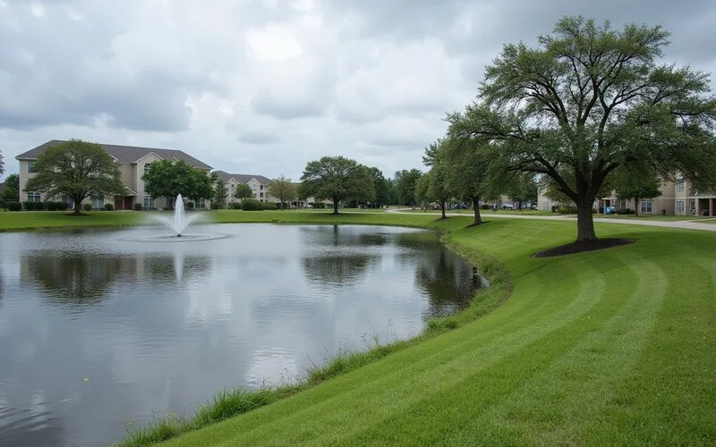
The three zones you’ll see most
Evaluating a fema flood zone x vs ae apartment means understanding the exact risks mapped by the government. The Federal Emergency Management Agency assigns these risk categories based on historical data and topography.
We use this data to compare properties objectively. The table below breaks down the most common designations and their current counts.
| Zone | What FEMA maps it as | Tracked new builds (Oct 25, 2026) |
|---|---|---|
| Zone X (unshaded) | Outside the 0.2% annual-chance flood area | 128 |
| Shaded Zone X | 0.2% annual-chance area, or behind a levee | 9 |
| Zone AE | 1% annual-chance floodplain, with a base flood elevation | 3 |
The 1% annual-chance flood is what people commonly call the 100-year flood. It means a 1% chance of flooding in any given year, rather than one flood every hundred years. Over a standard 30-year mortgage span, that probability adds up to roughly a one-in-four chance.
Our experts always check the Base Flood Elevation for properties in these higher-risk areas. Base flood elevation (BFE) is the exact height floodwater is expected to reach during that 1% event. In Zone AE, FEMA sets a mandatory BFE, and new buildings must be designed at or above this line to meet compliance and insurance requirements.
What zones don’t tell you
A mapped zone covers a broad area, not a specific front door. This limitation becomes critical when evaluating commercial or residential real estate investments.
We frequently remind clients that official maps do not account for every type of water hazard. For instance, during Hurricane Harvey, roughly 75% of flooded homes actually sat completely outside the official 100-year floodplain.
A standard zone label misses several localized hazards:
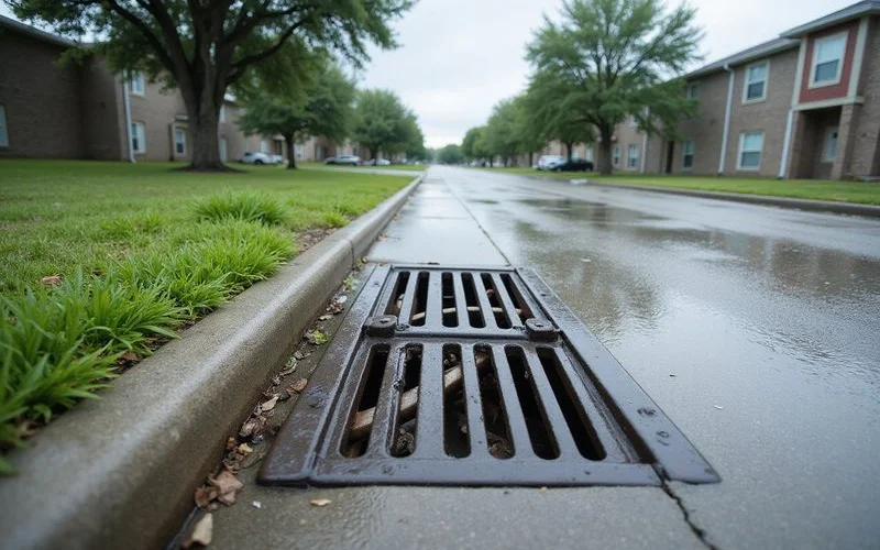
- Street flooding from heavy rain that overwhelms storm drains
- How high a specific garage entrance or loading dock sits
- Whether a road to the building tends to close during severe storms
- Drainage changes resulting from new construction nearby
- Pluvial flooding caused by intense, localized rainfall rather than river overflow
Our evaluation process relies on community feedback to fill in these gaps. Gathering local insights reveals the true everyday conditions.
Facts, never verdicts
We describe what the map says and what the documents show. This data never serves to rank buildings by flood risk or influence the Houston New Build Score.
How do I look up an address?
You can easily check any property location yourself before signing a lease or contract. Conducting a proper flood zone lookup address houston search takes only a few minutes.
Our team recommends cross-referencing two specific resources for the most accurate picture.
- Go to FEMA’s Flood Map Service Center and search the exact street address.
- Use the Harris County Flood Warning System, which now features over 200 real-time gage stations for customized text alerts in 2026.
- Note the official zone, the map panel number, and the effective date.
Search the exact property address, rather than the broad community name. Large communities or business parks frequently span more than one mapped zone.
What about the three Zone AE buildings?
Developers often take steps to mitigate risk for structures in high-hazard areas. Asher Towne Lake and Sycamore Heights have LOMR-F letters pending, while The Cove at GYB has an 11-foot BFE (Oct 25, 2026).
Our researchers track these modifications closely. A LOMR-F (Letter of Map Revision based on Fill) officially removes a structure from the mapped floodplain by elevating it with fill dirt.
This paperwork drastically changes insurance requirements and risk profiles. Our guide on LOMR-F letters explains exactly what those documents show and how to read the MT-1 forms associated with them.
Other zones you might see
Most new builds on the active board fall into X, shaded X, or AE categories. A few other labels occasionally appear on FEMA maps around the Texas coast.
We always define these specialized labels for our clients. Understanding a shaded zone x meaning or a coastal designation helps clarify the exact environmental exposure.
- Zone A: A 1% annual-chance floodplain where FEMA hasn’t yet set a base flood elevation.
- Zone AO or AH: Shallow flooding areas, often carrying a specific set flood depth between one and three feet.
- Zone VE: Coastal areas facing velocity wave action, which strictly require breakaway walls on lower levels.
- Floodway: The primary channel and nearby land that carries the bulk of floodwater, sitting directly inside the AE zone.
If a building on your target list shows one of these, the provided card will note it clearly. Plain words make these technical classifications much easier to understand.
Questions to pair with the zone
Looking at the map is just the starting point of a solid property assessment. The most revealing information comes from asking highly specific questions about the physical property.
Our standard checklist covers the practical realities of heavy weather. These inquiries highlight issues maps simply cannot see.
- What does the Section 92.0135 notice say about the floodplain and the last five years of history?
- Is the parking garage entrance or ground floor situated below street level?
- Which primary access roads to the building are known to close in heavy rain?
- What exact systems does the emergency generator cover during a power outage?
Asking these specific questions for every shortlisted building produces actionable data. We share the resulting answers with exact dates to ensure complete transparency.
What else should I ask before I sign?
Texas law mandates strict disclosures regarding water hazards. Landlords must give you a written notice at or before the lease signing.
Our property specialists verify these documents to protect your investment. The document explicitly states whether the unit sits in the 100-year floodplain and whether it took on water in the last five years.
Statutory Updates for 2026
Under recent updates via Senate Bill 2349, this flood notice must be a separate written document signed by both parties. Our comprehensive guide on the Texas flood disclosure covers exactly what this paperwork requires.
Pulling the FEMA record for every building on a shortlist sets a baseline of facts. We then ask for the formal disclosure and clarify generator coverage. Send over your move date and preferred buildings, and the team will return factual answers the same day during business hours.